India Raises Concerns Over UN Map Depicting Arunachal Pradesh and Aksai Chin Separately
Quick Brief
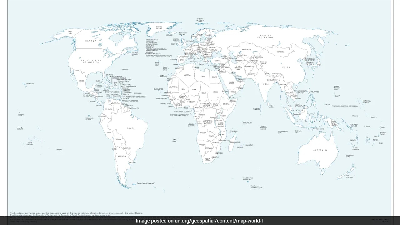
India has raised concerns following the release of a United Nations map that portrays Arunachal Pradesh and Aksai Chin as separate regions. The map in question was initially published on July 1 and later utilized during discussions related to a UN General Assembly resolution.
What Happened?
India responded to a United Nations map that depicted Arunachal Pradesh as an independent state bordering Assam and China, while also incorrectly marking Aksai Chin. The map was originally published on July 1 and saw extensive use during UNGA resolution discussions.
Why It Matters
Cartographic depictions involving disputed border territories carry significant geopolitical weight and touch upon national sovereignty sensitivities for India.
Key Facts
- The controversial map was first published by the United Nations on July 1.
- It was extensively utilized during discussions regarding a UNGA resolution.
- The depiction showed Arunachal Pradesh as an independent state bordering Assam and China.
- India's reaction highlights ongoing sensitivities regarding the mapping of Arunachal Pradesh and Aksai Chin.
Compiled from 1 outlet
Related Stories

Reform UK Defends Migrant Return Pact Following Backlash in France
Reform UK has defended its newly announced migrant return agreement with France's far-right National Rally. The party asserted that the pact was officially authorized by National Rally president Jordan Bardella. The arrangement has drawn sharp criticism and a strong backlash in France.
Prime Minister Modi and Vladimir Putin Schedule Bilateral Discussions in New Delhi
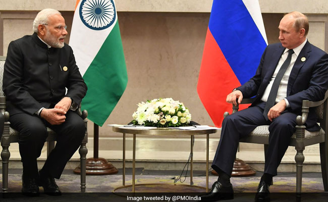
Indian Prime Minister Narendra Modi and Russian President Vladimir Putin are scheduled to hold bilateral discussions in New Delhi. The leaders plan to address various international matters as well as ongoing global transportation projects. The meeting precedes the upcoming BRICS summit.

Russian Man Sentenced to 14 Years for Posting Photos of Military Graves
A Russian court has handed down a 14-year prison sentence to a man who published photographs of military graves. The case highlights ongoing legal penalties in Russia regarding documentation of military-related sites. Further details regarding the specific charges were limited in the initial reports.

UAE Warned Netanyahu of Major Hamas Attack Days Before October 7, Report Says
According to reports, the United Arab Emirates issued a warning to Israeli Prime Minister Benjamin Netanyahu regarding a major impending Hamas attack just days prior to the October 7 massacre. The information highlights pre-attack intelligence warnings received by Israeli leadership. Further details on the exact nature and channel of the warning continue to emerge.