Satellite Imagery Reveals Trishuli River in Nepal Swelled Up to Six Times Normal Size
Quick Brief
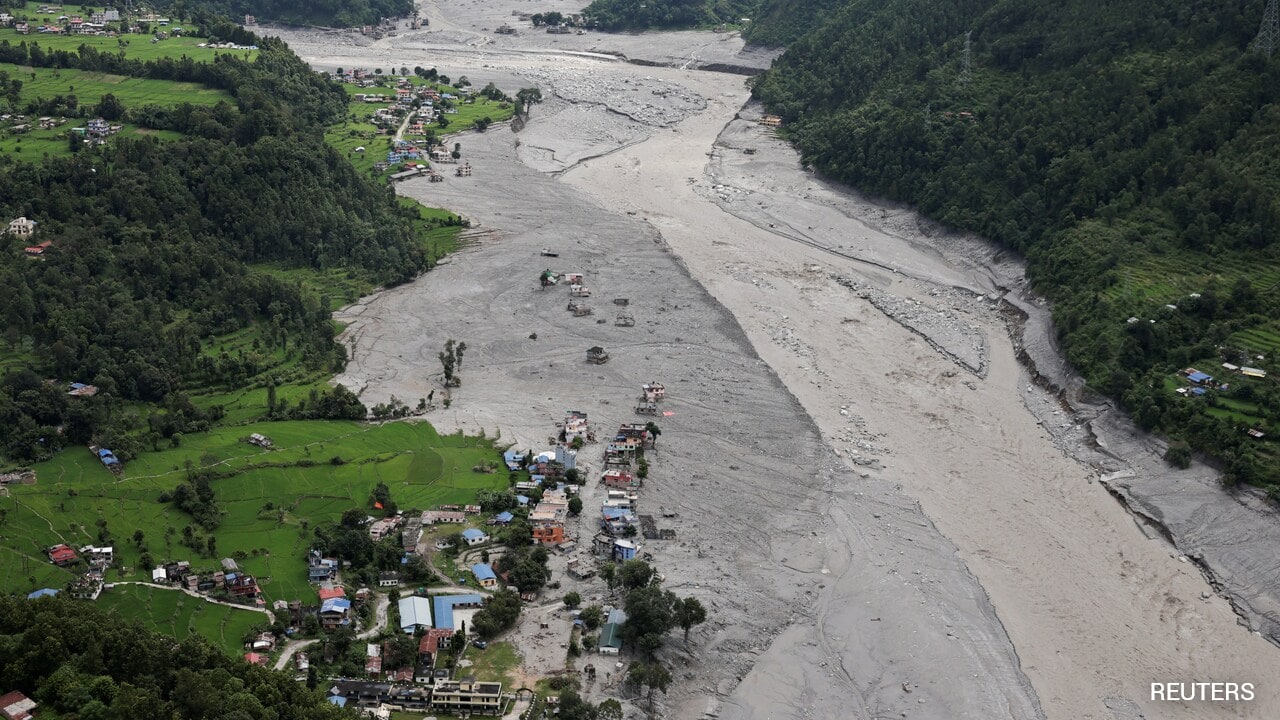
Recent satellite imagery analysis reveals that Nepal's Trishuli river expanded to six times its normal size, engulfing residential structures. The river carried the primary volume of a destructive slurry that impacted the region. Researchers utilized data from multiple mapping and imaging providers to assess the severe environmental shift.
What Happened?
An analysis of satellite imagery captured by Vantor, Planet Labs PBC, Google Earth, and Google Open Buildings demonstrated how the Trishuli river in Nepal drastically changed its course and swelled up to six times its original size. The swollen waterway submerged multiple houses and carried the vast majority of a devastating slurry.
Why It Matters
The documentation provides clear visual evidence of the sheer scale of the disaster, illustrating how rapidly the river expanded and altered the local landscape to catastrophic effect for nearby communities.
Key Facts
- The Trishuli river in Nepal swelled to as much as six times its normal size.
- The river carried the bulk of a devastating slurry that swallowed houses.
- Data sources for the analysis included Vantor and Planet Labs PBC.
- Google Earth and Google Open Buildings imagery were also utilized by the team.
Compiled from 1 outlet
Related Stories

Erode Farm Owner Granted Conditional Interim Custody of Exotic Animals in Actor Vikram Lar Gibbon Case
A court has granted conditional interim custody of exotic animals to an Erode farm owner connected to a video case involving actor Vikram. The ruling dismissed a petition by the Forest Department to relocate the animals to a zoo, instead allowing officials periodic inspection access.
Indian Woman Rescued From Kuwait After Alleged Torture
An Indian woman named Vanitha has been rescued by the Indian Embassy in Kuwait after enduring three months of alleged torture. Originally from Tamil Nadu's Kallakurichi district, she reported a stark improvement in her conditions following the intervention.

New Report Highlights Surge in Racist Attacks Targeting Indians by the American Far Right
A newly published report indicates that Indian individuals have become the primary targets of racist hostility and attacks in the United States. The findings underscore an increasingly ugly fixation by the American far right against the community.
Nepal Tunnel Worker Rescued After Nine Days Underground
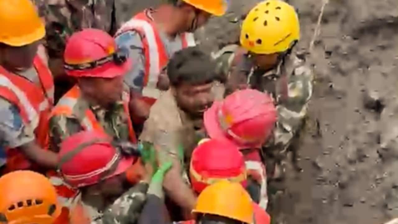
A tunnel worker in Nepal has been safely extracted after spending nine days trapped underground. Footage released by the energy ministry captured the emotional moment he was pulled through a muddy opening and assisted by emergency responders.