Satellite Imagery Tracks Canadian 'Island' That Mysteriously Relocated 20 Miles

Quick Brief
BBC Verify has utilized satellite imagery to document a startling geographical phenomenon in Canada. An apparent island seemingly vanished from its original location before reappearing 20 miles away, capturing international attention.
What Happened?
Using satellite imagery, BBC Verify tracked a mysterious event involving a Canadian landmass often described as an island. The formation disappeared from its initial spot and subsequently turned up 20 miles away, surprising observers globally.
Why It Matters
The strange relocation of a landmass highlights unusual environmental phenomena and demonstrates the capability of modern satellite technology to track and verify unexpected geographical changes.
Key Facts
- BBC Verify tracked the phenomenon using satellite imagery
- A Canadian landmass described as an 'island' seemingly vanished
- The island later reappeared approximately 20 miles away
- The unusual occurrence has surprised people worldwide
Compiled from 1 outlet
Related Stories

Research into fly brains could unlock insights into human behavior
Recent scientific research suggests that comparing the brains of male and female flies could revolutionize our comprehension of behavioral genetics. By studying these differences, researchers hope to gain broader insights into how genes shape actions in other species, including humans. This work highlights the enduring value of model organisms in decoding complex behavioral traits.
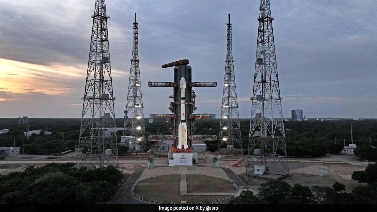
ISRO Prepares for Ambitious Launch of Earth Observation Satellite EOS-5
The Indian Space Research Organisation (ISRO) is gearing up to launch its ambitious earth observation satellite, designated EOS-5. The launch sequence is scheduled to take place during the early morning hours of September 4.
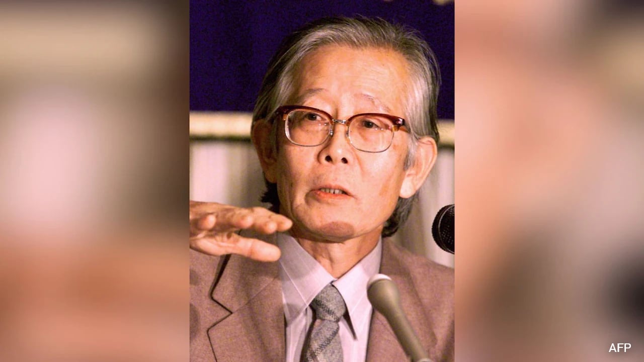
Hideki Shirakawa, Nobel Laureate in Chemistry and Pioneer of Conductive Plastics, Dies at 90
Japanese scientist and Nobel Chemistry Prize winner Hideki Shirakawa has passed away at the age of 90. He was recognized for his groundbreaking work demonstrating that plastic could conduct electricity like metal. His research laid foundational pathways for modern electronic applications.

Australian Researcher Wins Science Prize for Studying Memory in Domestic Violence Survivors
University of Sydney forensic psychologist Helen Paterson has been honored with a prestigious Eureka prize in Australia. Her research examines how memory functions differently for witnesses of repeated trauma, such as domestic and family violence, compared to single-event witnesses. The findings aim to help police and courts better understand survivor recollections.